|
The CLAMS Project
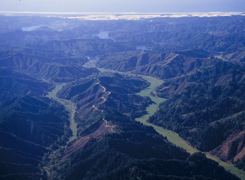
The Coastal Landscape
Analysis and Modeling Study (CLAMS) is a joint research effort
of the USDA Forest Service, Pacific Northwest Research Station,
Oregon State University, College of Forestry and the Oregon
Department of Forestry. The goal of CLAMS is to develop and
evaluate concepts and tools to understand pattern and dynamics
of provincial ecosystems such as the Oregon Coast Range and
to analyze the aggregate ecological and socio-economic consequences
of different forest policies and strategies across multiple
ownerships of the province. The six major objectives of the
project are to:
- Characterize the spatial
pattern and history of ecological and socio-economic components
of the Coast Range;
- Develop ecological
and socio-economic models, measures and linkages (Figure1);
- Develop spatial policy
evaluation tools and data for use by technical specialists;
- Project aggregate
effects of current and selected alternative forest policies
on key resources and outputs;
- Evaluate consequences
of alternative fundamental strategies to natural resource
management;
- Synthesize multi-scale
assessments and provide information for joint learning among
stakeholders.
These objectives will be met through development
of a compatible set of spatial data bases and spatial simulation
models. Vegetation and physical conditions of the province
will be characterized with GIS models that use LANDSAT imagery,
10 m digital elevation models and climate and geology data.
Landowner behavior (land use change and timber harvesting
practices) will be simulated based on landowner surveys. Coarse
and fine scale measures of biodiversity will be developed
from the literature, limited field studies and analysis of
existing data. Habitat suitability models (fine scale measures)
will be developed for selected species and validated where
possible against existing field study data. Aquatic habitat
potential measures for salmonids will be developed at the
watershed scale. Indicators of landslide and debris flow potential
will be developed. A spatial forest dynamics simulator will
be used to project harvesting and stand growth under current
and alterative policies for 100 years. A stand growth and
yield model (Organon) and a forest succession model (Zelig)
will be used to project forest development. Economic effects
will be estimated using IMPLAN. Recreational opportunities
and contingent valuation of biological diversity will also
be evaluated.
|