Augur Creek RNA
 |
|
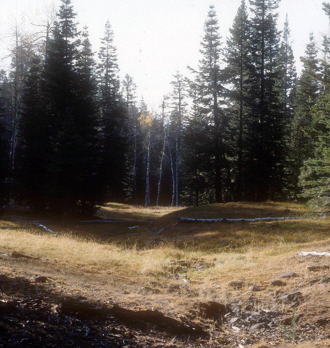
Augur Creek Research Natural Area (RNA) was established to represent whitebark pine (Pinus albicaulis) -lodgepole pine (Pinus contorta) forest and communities of ponderosa pine (Pinus ponderosa) -white fir (Abies concolor)/snowberry (Symphoricarpos) and ponderosa pine-white fir/snowbrush (Ceanothus velutinus). The northwest portion of the RNA has a steep north- facing slope with a broad, flat ridge top. The nearby Gearheart Mountain and Dead Horse Rim are the two highest peaks of the RNA. Most of the slopes within the RNA are gentle and follow the southeastward flow of Augur Creek and unnamed tributary creeks. Ponderosa pine forests dominate most of the RNA with occasional stands of grand fir (Abies grandis). The understory of the ponderosa pine forests includes pinemat manzanita (Arctostaphylos nevadensis), greenleaf manzanita (Arctostaphylos patula), Oregon grape (Mahonia repens), squaw currant (Ribes cereum), snowbrush and strawberry (Fragaria spp.). Mountain sagebrush (Artemisia tridentata) is present in the upper elevation ponderosa pine and lodgepole pine forests. Lodgepole pine and whitebark pine (Pinus albicaulis) co-dominate higher elevations of the RNA. There is riparian zone vegetation along creeks and in wet areas with scarce patches of Blue-leaved penstamon.
| Records and Plans: | |
| Research Publications Associated with this RNA: |


