Pringle Falls RNA
| Name: |
Pringle Falls |
| Ownership: |
FS |
| Type: |
RNA |
| State: |
Oregon |
| Ecoregion: |
East Cascades |
| Forest: |
Deschutes |
| District |
Bend |
| Acres: |
1328 |
|
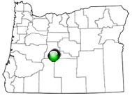
View with Google Maps
|
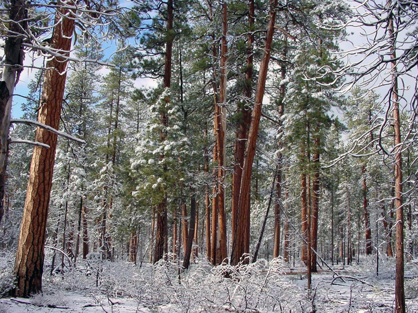
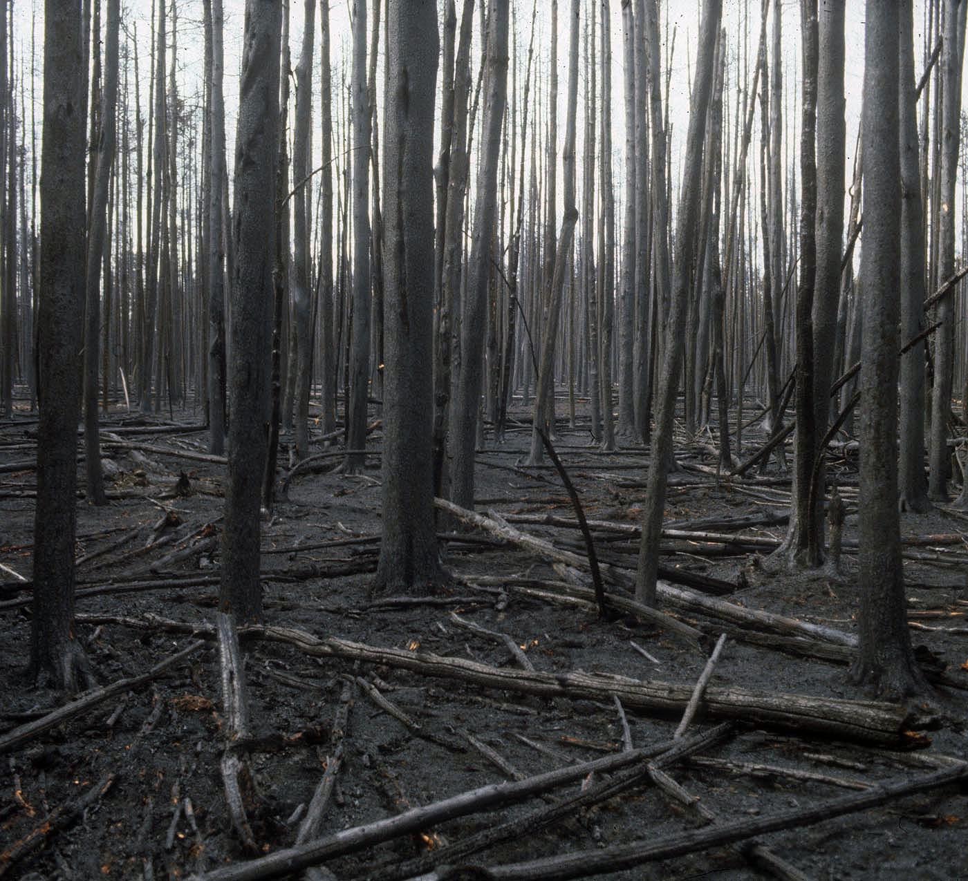
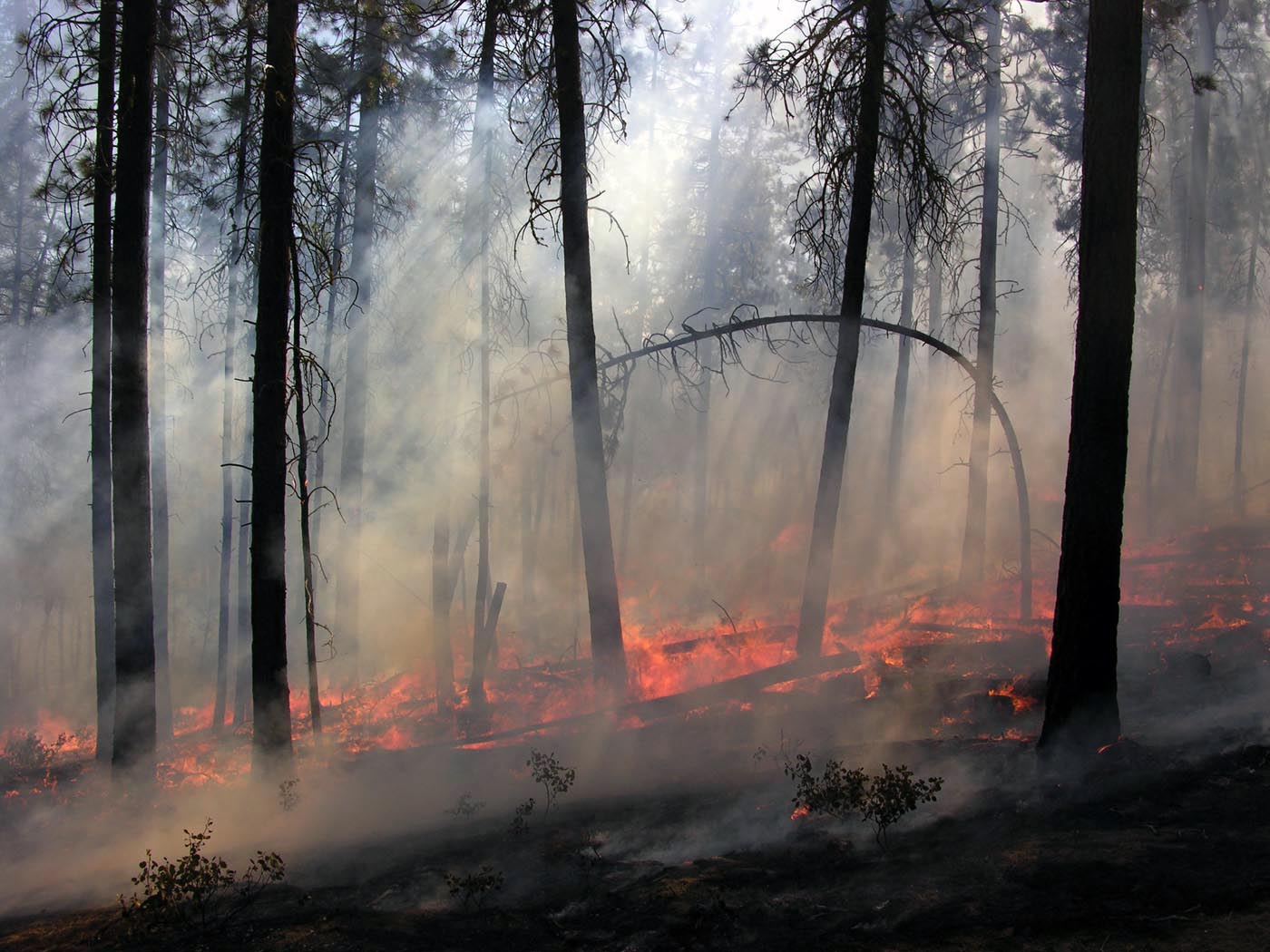
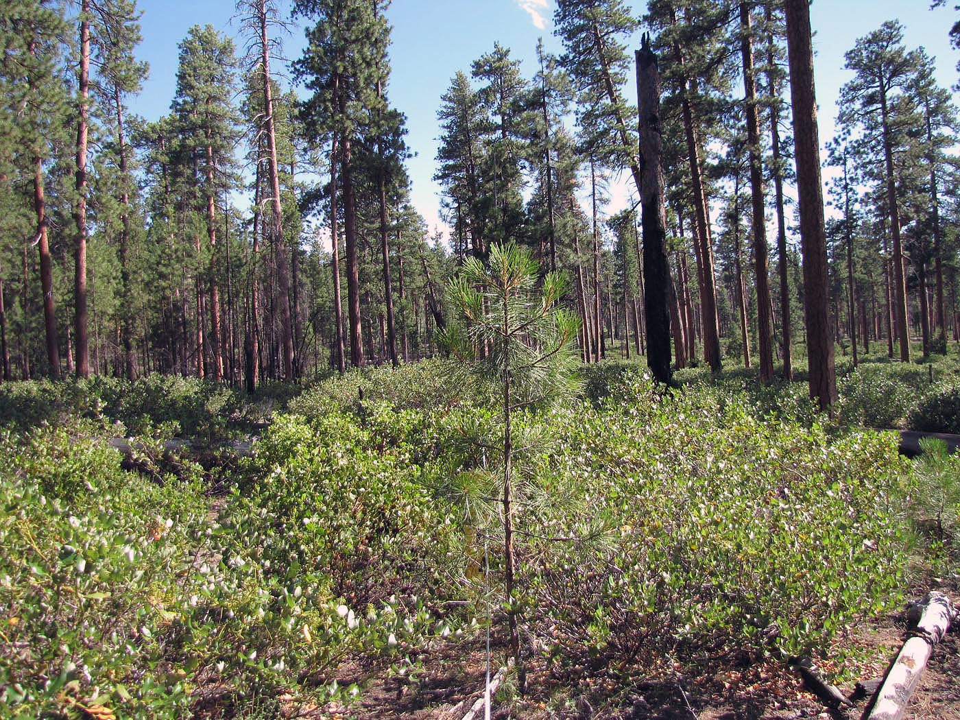
Pringle Falls Research Natural Area (RNA) was established to represent lodgepole pine (Pinus contorta) and ponderosa pine (Pinus ponderosa) forests characteristic of a large region of the Oregon Cascade Mountains with aerially-deposited pumice from Mount Mazama. The topography of the western tract of the RNA is mostly flat while the eastern tract varies from flat to rolling to relatively steep. Both tracts lie on a dacite pumice plateau with basalt and basaltic andesite lavas. The western tract is dominated by lodgepole pine (Pinus contorta) with patches of western needlegrass (Achnatherum occidentale), Ross' sedge (Carex rossii), bottlebrush squirreltail (Sitanion hystrix), Fragaria cunefolia, bitterbrush (Purshia) and Idaho fescue (Festuca idahoensis). The eastern tract is dominated by Ponderosa pine (Pinus ponderosa) and bitterbrush (Purshia tridentata) with occasional patches of Ross' sedge (Carex rossii), western needlegrass (Achnatherum eminens), bottlebrush squirreltail, and greenleaf manzanita (Arctostaphylos parryana var. pinetorum). Prescribed fire is used to help maintain ecological conditions and processes for which the RNA was designated to represent.
| Records and Plans: |
- Establishment Record
- Oregon Natural Areas Plan 2010
- Pringle Falls Research Natural Area; Hall, F. C. 1972
- Natural vegetation of Oregon and Washington; Franklin, J. F.; Dyrness, C. T. 1988
- First forest soil survey gives significant results; Tarrant, R. F. 1947
- Seed production of central Oregon Ponderosa and Lodgepole pines; Dahms, W. G.; Barrett, J. W. 1975
- Long-term research on forest dynamics in the Pacific Northwest: a network of permanent forest plots; Acker, S. A.; McKee, W. A.; Harmon, M. E.; Franklin, J. F. 1998
|
| Research Publications Associated with this RNA: |
- Decomposition and nitrogen release from
decomposing woody roots in coniferous forests of
the Pacific Northwest: a chronosequence
approach; Chen, Hua, Harmon, Mark E., Griffiths, Robert P. 2001
- Effects of temperature and moisture on carbon respired from decomposing woody roots; Chen, Hua, Harmon, Mark E., Griffiths, Robert P., W. Hicks 2000
- Potential upper bounds of carbon stores in forests of the Pacific Northwest; Smithwick, Erica A. H.; Harmon, Mark E.; Remillard, Suzanne M.; Acker, Steven A.; Franklin, Jerry F. 2002
- Changes in pandora moth outbreak dynamics during the past 622 years; Speer, J. H.; Swetnam, T. W.; Wickman, B. E.; Youngblood, A. 2001
- Stand structure in eastside old-growth ponderosa pine forests of Oregon and northern California; Youngblood, A.; Max, T.; Coe K. 2004
- Studies on the incidence of coniferous needle endophytes in the Pacific Northwest; Carroll, G. C.; Carroll, F. E. 1978
- Tree death as an ecological process; Franklin, J. F.; Shugart, H. H.; Harmon, M.E. 1987
- Age structure and spatial pattern of old-growth ponderosa pine in Pringle Falls experimental forest, central Oregon; Morrow, R. J. 1985
- Bird populations in four vegetational types in central Oregon; Gashwiler, J. S. 1977
- Fire history in three vegetation types on the East side of the Oregon cascades; Bork, J. L. 1984
- Soil carbon and nitrogen in old-growth forests in Western Oregon and Washington; Remillard, S. M. 1999
- Carbon Storage in Coarse and Fine Fractions of Pacific Northwest Old-Growth Forest Soils; Homann, P.S., Remillard, S. M. 2004
|
