Olallie Ridge RNA
 1963.jpg) |
 |
 |
|
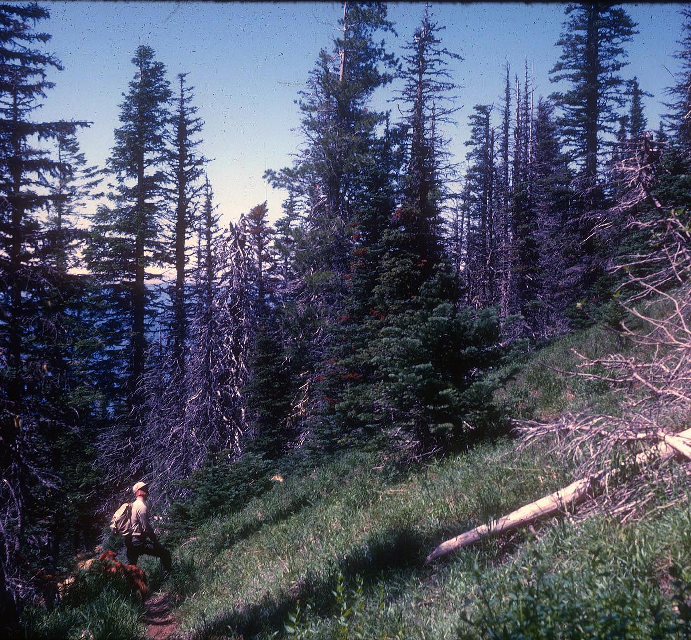
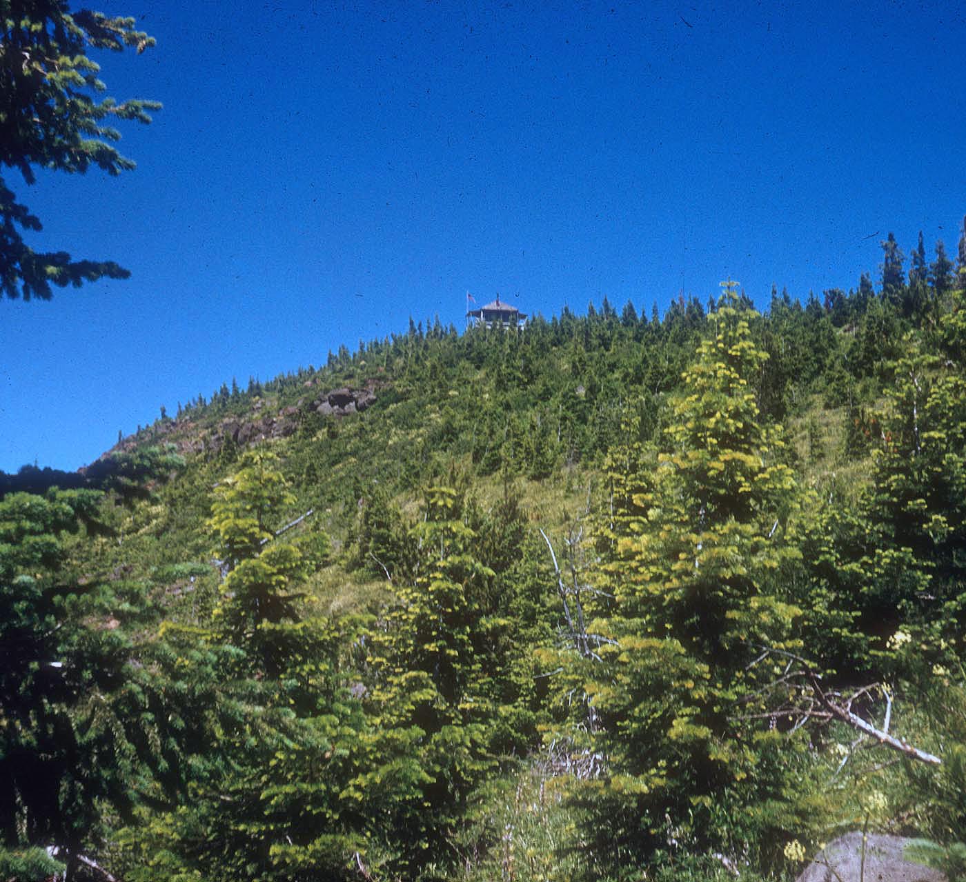
Olallie Ridge Research Natural Area (RNA) was established to represent upper-slope forest within the Oregon Cascades. Slopes are generally steep to moderate with many rock outcrops and meadow community types. Horsepasture Mountain is located within the RNA’s boundaries and is one of the most floristically diverse areas in the western Cascades. Mountain hemlock (Tsuga mertensiana) is common throughout the RNA. South-facing slopes are dominated by Douglas-fir (Pseudotsuga menziesii) or white fir (Abies grandis). Stands of Pacific silver fir (Abies amabilis), noble fir (Abies procera), western hemlock (Tsuga heterophylla), subalpine fir (Abies lasiocarpa), and western white pine (Pinus monticola) are also scattered throughout the RNA. Recent infestations of balsam woody aphid probably killed subalpine fir (Abies lasiocarpa) in and around the wet meadows. The natural area was used as a sheep range until the 1930's and evidence of sheep camps around several grassy openings can still be found.
| Records and Plans: | |
| Research Publications Associated with this RNA: |
