Mokst Butte RNA
 |
 |
 22-Aug-1980.jpg) |
 |
|
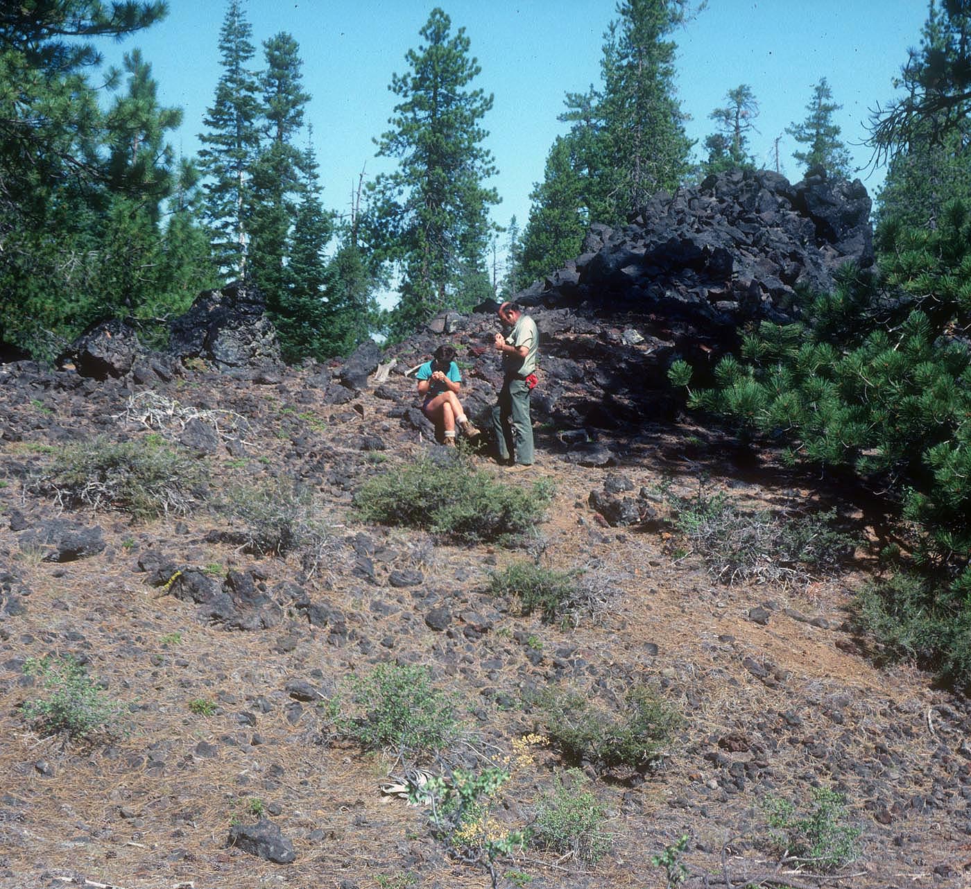
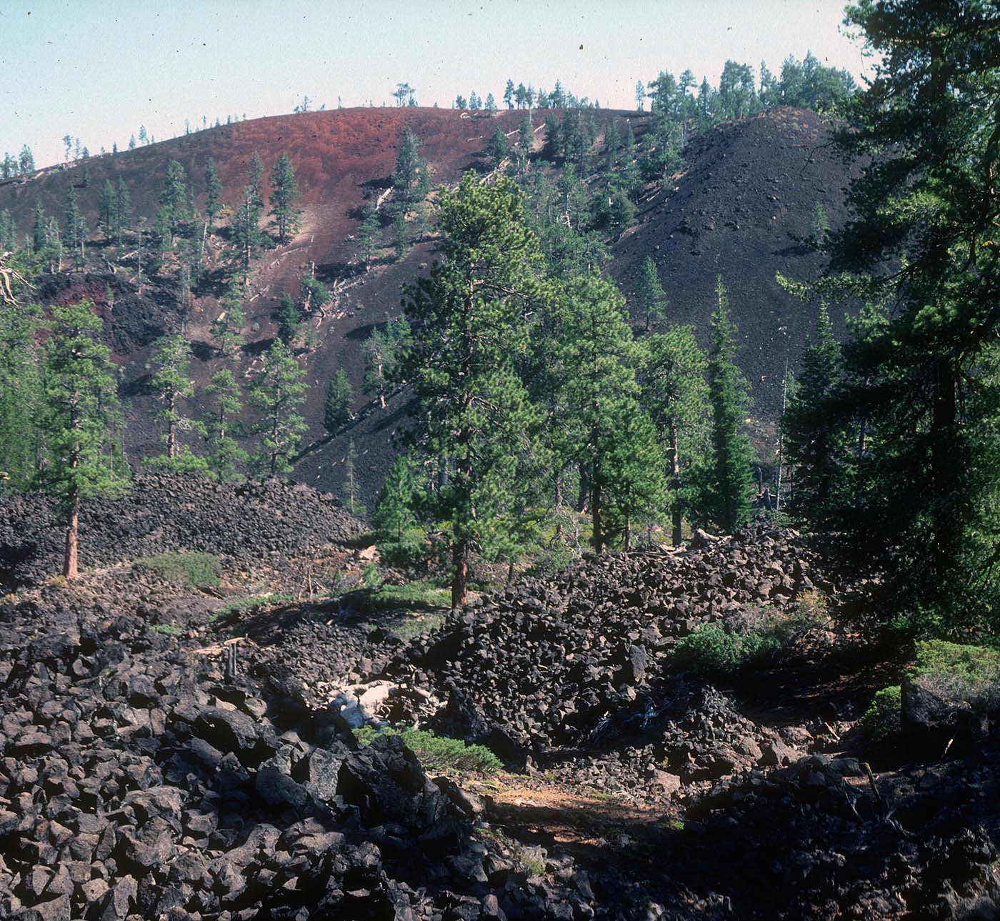
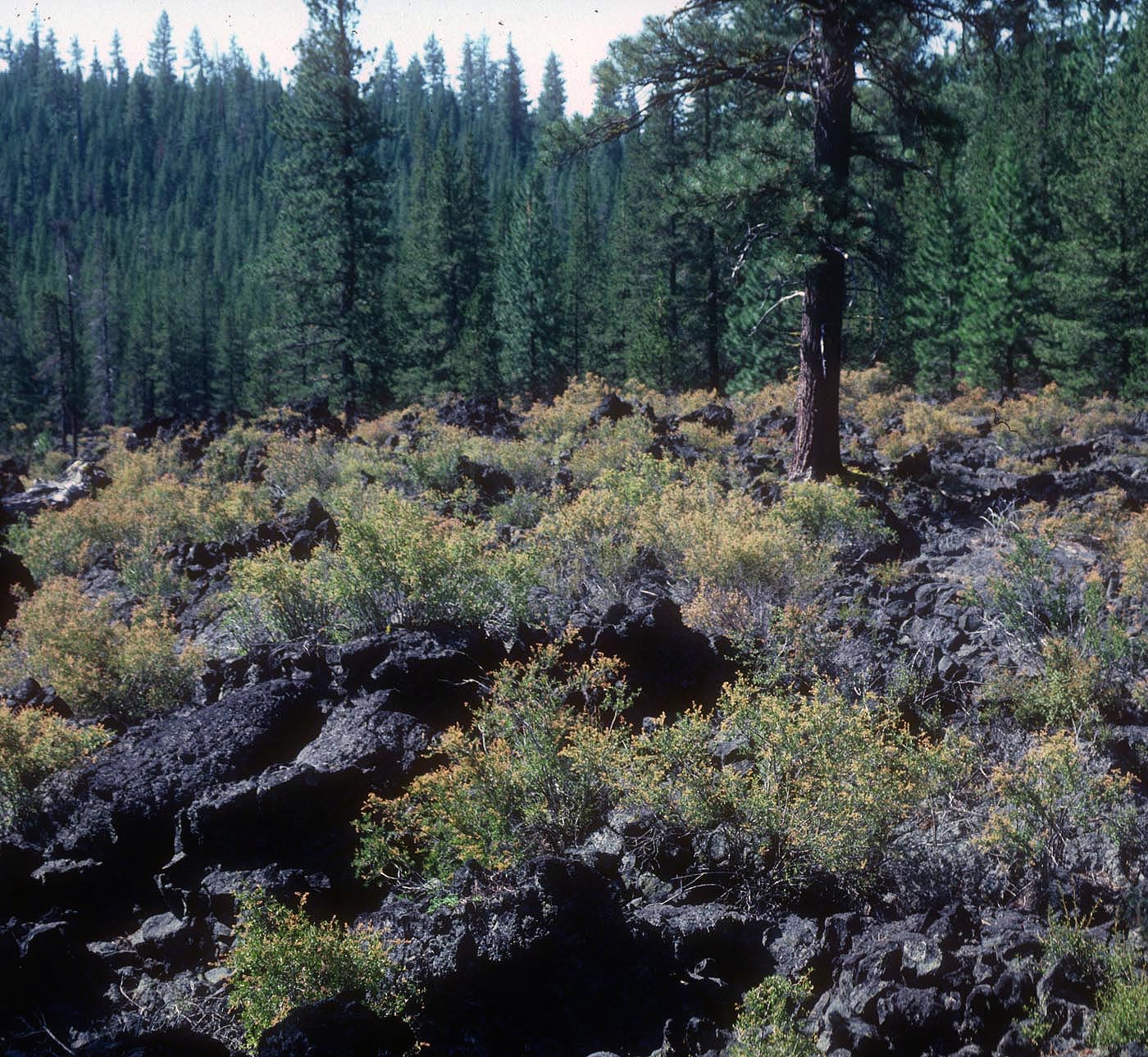
Mokst Butte Research Natural Area (RNA) was established to represent an entire undisturbed forested cinder cone within the white fir (Abies grandis) zone. The eruption of Mt. Mazama left lava flows and Mazama ash dispersed throughout the area. The cinder cones have steep sides with relief patches of small ridges and mounds. The lava flow community is dominated by gland ocean-spray (Holodiscus dumosus var. glabrescens) with occasional stands of Ponderosa pine (Pinus ponderosa). Sandy, pumiceous and lapilli soils are dominated by the lodgepole pine (Pinus contorta)/currant (Ribes)-bitterbrush (Purshia)/needlegrass (Achnatherum) association. Forested areas of the RNA are dominated by ponderosa pine (Pinus ponderosa) and white fir with occasional stands of Western white pine (Pinus monticola).
| Records and Plans: | |
| Research Publications Associated with this RNA: |
