Northern Eurasia Land Cover (NELC)
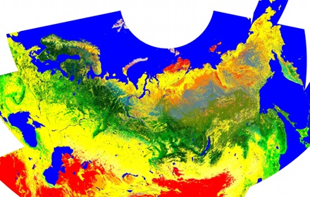
The NELC database was developed for the year 2005 using MODIS data.
Download
- NELC Documenation (PDF)
- NELC Database (~750MB)
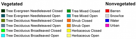
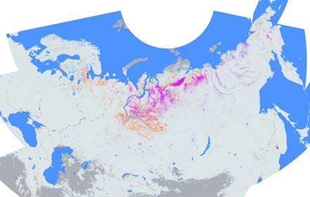
Land Cover
Land Use
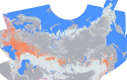
Download JPG-image for Land-Use Layer (16Mb)
Wetlands
Download JPEG-image for Wetland Layer (11Mb)
Tundra Layer
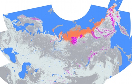
Download JPEG-image for Tundra Layer (14Mb)
Publications
- Sulla-Menashe, D., M. Friedl, O. Krankina, A. Baccini, C. Woodcock, A. Sibley, G. Sun, V. Kharuk, V. Elsakov (2011). Hierarchical Mapping of Northern Eurasian Land Cover Using MODIS. Remote Sensing of Environment, 115, 392-403