
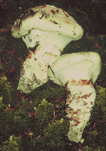
SilviShrooms
Predicting edible mushroom productivity using forest carbon allocation modeling and immunoassays of ectomycorrhizae

Evaluating commercial mushroom crops and their values at the scale
of landscapes would enable planners or policy analysts to anticipate
how regional mushroom crops might be influenced by changes in
climate, pollution, exotic forest pests, forest age class distributions,
timber management regimes, or land-use patterns. As previously
mentioned, the 3PG model has been linked
to satellite imagery of canopy photosynthetic capacity to
predict forest growth across landscapes (Coops
et al. 1998). Satellite sensing of canopy conditions for scaling
the 3PG model to landscape estimates of mushroom productivity
will be ineffective, however, unless we better understand the
range and habitat preferences of the modeled mushroom species.
After the core modeling research is underway, we plan to survey
mushroom experts (mycology club members, agency botanists, and
commercial mushroom harvesters) about the habitat preferences
of commercially harvested mushroom species. By incorporating summaries
of this habitat information into geographic information system
(GIS) databases, we will be able to select appropriate habitat
strata for application of remotely sensed canopy data. This approach
will allow us to calculate mushroom productivity and crop values
at watershed, landscape, or regional scales.